Claude Science did something that had been postponed for years, in a research post Anthropic published on October 8, 2026: Johns Hopkins astrophysicist Brice Ménard used it to coordinate a team of agents that stitched ultraviolet observations from multiple space telescopes into the first complete ultraviolet map of the sky. The project ran over several days this summer; cross-instrument stitching of this kind usually takes years of scheduled human effort.
The gap persisted because the work is tedious, not because nobody cared
Ultraviolet light is blocked by the ozone layer, so it can only be observed from space. NASA's GALEX mission collected roughly 38,000 observations between 2003 and 2013 and covered about two-thirds of the sky, but to protect its detectors it avoided regions around bright stars, including much of the Milky Way's plane. Other missions filled in parts, yet the gaps remained. The data sits across different instruments with different calibrations, and most of the cost of a combined map is not observing but cleaning, aligning and checking — work nobody schedules willingly.
The agents did the stitching labor
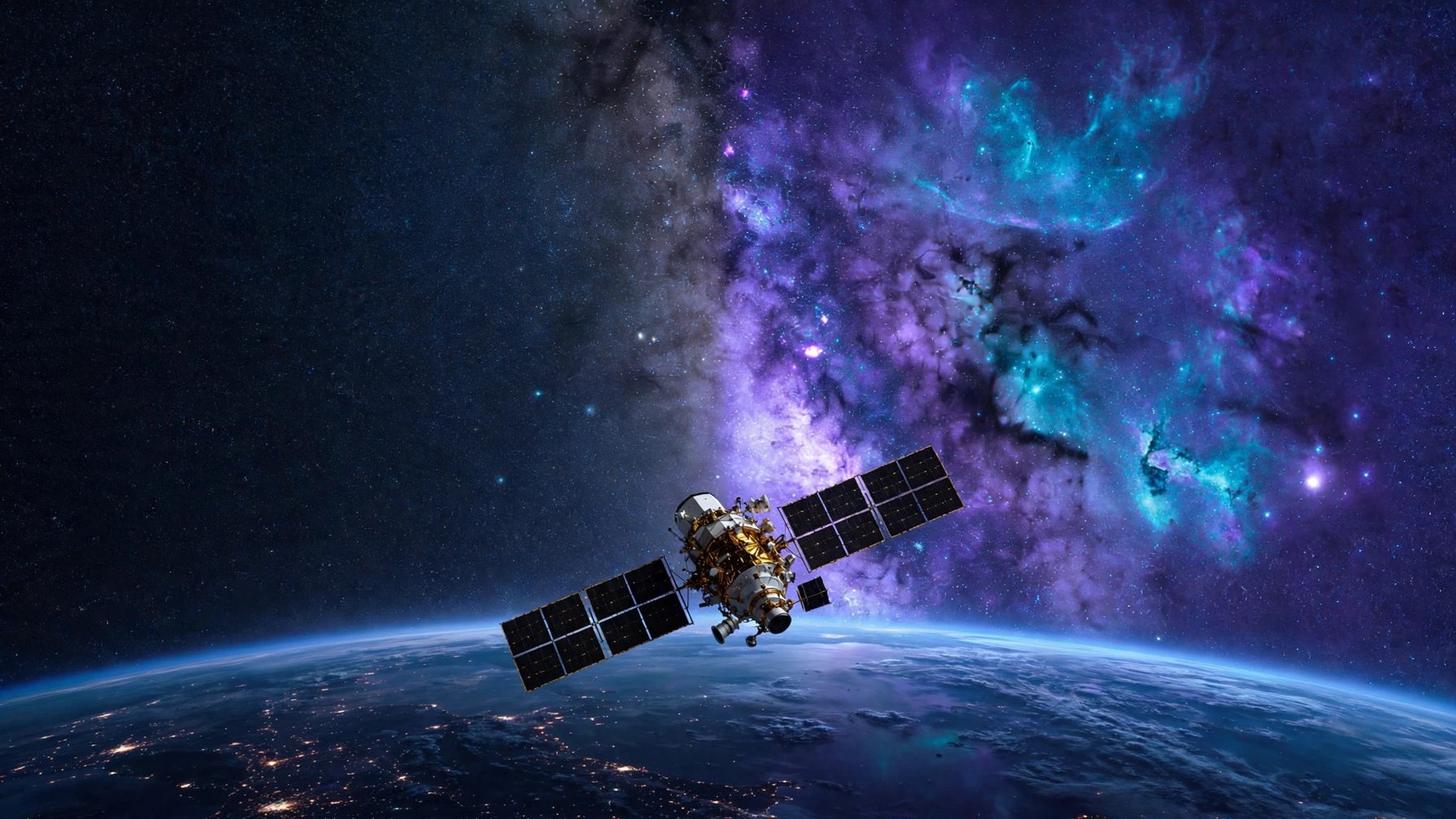
According to Anthropic, agents coordinated by Claude handled the full chain: searching public surveys, downloading observations, calibrating data from different instruments onto a comparable footing, removing glare around bright stars, and aligning everything on a shared coordinate system, producing a map that combines far-ultraviolet light at 154 nanometers with near-ultraviolet light at 232 nanometers. Regions with no observations were estimated through inpainting combined with correlations between ultraviolet measurements and visible, infrared and radio data; the map also includes ultraviolet estimates for more than 100 million stars, inferred from visible-light measurements by the European Space Agency's Gaia mission. It sits on the same track as Anthropic's wider science push, including a three-year, $150 million commitment bringing Claude into a federal research program.
A third of it is computed, not observed
The boundary matters: about a third of this map is inferred rather than measured by a telescope. In Anthropic's tests, predictions deviated from real measurements by about ten percent on average, and at one point an artifact slipped through the agents' review and was caught by Ménard himself during inspection. So for now the map is best used for teaching, topic selection and planning follow-up observations; citing the inferred regions as observed fact would overstate it. The real signal is methodological: data-stitching projects that researchers shelved because the human cost was too high can now be run end to end in days, and Ménard suspects many colleagues are sitting on similar backlogs.